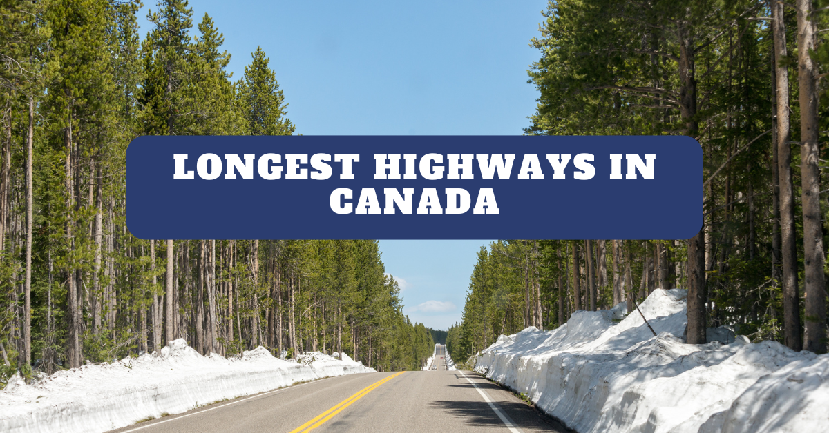
Which Are the Longest Highways in Canada in 2025?
Canada is an incredible destination, boasting spectacular sites and vistas that make its landscape undeniably beautiful. The second-largest country, Canada, sprawls approximately 9.98 million square kilometers, offering a vast territory that is traversed by an extensive network of highways.
Canada comprises over one million kilometers of roads, out of which 38,000 kilometers are specified as the National Highway System (NHS). Each highway is considered a provincial highway or territorial highway, officially. Its extensive roadway network plays a crucial role in connecting the country’s provinces and territories. Serving as vital arteries, these pathways facilitate people with convenient transportation, commerce, and travel across the country.
In this blog, we’ll shed light on Canada’s 10 longest highways, while highlighting their significance, and unique characteristics reflecting the nation’s geographical and cultural diversity.
List of the Top 10 Longest Highways in Canada
Let’s have a deeper look on Canada’s extensive roadway network. Here is the list of top 10 longest highways in Canada.
- Trans-Canada Highway
- Yellowhead Highway
- Alaska Highway
- Trans-Labrador Highway
- Dumpster Highway
- Stewart-Cassiar Highway
- Trans-Taiga Road
- James Bay Road
- Icefields Parkway
- Inuvik-Tuktoyaktuk Highway
1. Trans-Canada Highway
The Trans-Canada Highway earned the title of the country’s longest highway. As a crown jewel of an extensive road network, this highway sprawls east-west across Canada between Victoria, British Columbia, St. John’s, Newfoundland, and Labrador, carving its way over the ten provinces of the country and linking its major cities.
With a length of approximately 7,821 kilometers, the Trans-Canada Highway is a monumental testament to the country’s commitment to connectivity and sustainability and is known as the world’s longest national road. Under the authority of the Trans-Canada Highway Act, its construction began and continued until 1971. Despite the length, this highway holds immense significance for intricately linking Canada’s provinces and serving as the primary conduit of transportation, commerce, and communication.
The Trans-Canada Highway is a vital lifeline, helping in the movements of goods, people, and ideas across the country’s expansive landscape. Beyond its transportation importance, the winding route is a gateway to some of the most breathtaking and iconic landscapes. From rugged mountains to lush green forests, pristine lakes, and sweeping Canadian prairies, it offers a visual feast of natural wonder to all travelers.
Get ready and immerse yourself in the splendor of the country’s entrancing scenery. Its captivating allure works as a magnet, which attracts tourists to be a part of the Canadian wilderness.
Location: From Victoria and Haida Gwaii, British Columbia, to St. John’s, Newfoundland and Labrador
Read Also: 15 Longest Highways in the USA
2. Yellowhead Highway
The Yellowhead Highway is one of the multiple highways, which compose the Trans-Canada Highway system. Emerging as a vital artery in the country’s transportation network, this highway is known for bridging the expanses of the nation from east to west. Its name was given to the Yellowhead Pass, the route chosen to cross the Canadian Rockies.
Renowned as a major interprovincial highway in Western Canada, it runs from Winnipeg to Graham Island off the coast of British Columbia via Saskatoon and Edmonton. Officially opened in 1970, this iconic roadway became a part of the larger National Highway system.
While stretching 2,960 kilometers, the Yellowhead Highway covers the four provinces of Western Canada including British Columbia, Alberta, Saskatchewan, and Manitoba.
Commonly known as “Highway 16” the pathway plays a crucial role in linking the communities, industries, and regions across the western expanse of the country. Embark on its winding pathway and explore Canada’s wilderness through natural wonders, cultural attractions, and diverse landscapes ranging from the rugged mountain of British Columbia to the sprawling Canadian prairies.
Not only serving as a gateway to various National Parks like the majestic Jasper National Park and Banff National Park, Highway 16 provides a scenic ride, allowing visitors to marvel at the incredible beauty of the iconic landmarks including Lake Louise and Moraine Lake.
These meticulous spots are perfect for a serene retreat, offering a myriad of recreational activities such as hiking, skiing, and wildlife viewing.
Nature enthusiasts can encounter cascading waterfalls, ancient glaciers, and diverse wildlife while passing through the rugged terrain of the Rocky Mountains.
Location: Western Canada, from Winnipeg to Graham Island
3. Alaska Highway
The Alaska Highway, also renowned as the Alaskan Highway, Alaska-Canadian Highway, or ALCAN, was built in 1942. Spraining an impressive distance of approximately 2,232 kilometers at the junction along with a few Canadian highways in Dawson Creek, British Columbia, and runs to Delta junction, it becomes one of the longest highways of Canada.
The construction was begun during World War II to link the contiguous United States to Alaska across Canada.
Initially, it was named the Alaskan International Highway, but later people started to just call it ALCAN. At the time of completion in 1942, it was almost 2,700 km long and remained nearly 2,232 km in 2012. This one of the largest highways connects Canada with the lower 48 states of America.
Beyond the incredible length, the roadway is popular among visitors for its rugged scenery, wildlife, and remote destinations. Serving as a principal land access to northern British Columbia, the Yukon, and Alaska, the route upholds an immense importance.
Location: British Columbia, Yukon, Alaska
Read Also: Longest Borders in the World
4. Trans-Labrador Highway
The Trans-Labrador Highway, one of Canada’s longest Highways, is a primary public road in Labrador, the mainland portion of the province of Newfoundland and Labrador.
With a total length of 1,149 kilometers, Trans-Labrador Highway goes all the way from where Quebec meets Labrador City to the Atlantic coast and stands as a testament to the importance of transportation infrastructure in fostering connectivity and accessibility across Canada’s different regions.
People often call this highway as “Expedition 51,” which is well-renowned for its tricky winding route and beautiful scenery. The pathway serves as a vital lifeline and a key artery in Labrador, weaving through its diverse landscapes and connecting communities along its extensive route.
From the Baie-Comeau to the Labrador border, it takes around 8 hours to cover approximately 340 miles. Beware of its mostly bumpy gravel roads. Unavailability of phone service and fewer fuel stations are the main difficulties you’ll face on this pathway.
Location: Newfoundland and Labrador, Canada
Read Also: 10 Biggest Companies in Canada
5. Dempster Highway
Dumpster Highway is well renowned for being Canada’s only all-season public road to cross the Arctic Circle. It was named after Corporal William Dempster, a North-West Mounted Police officer. This highway is also known as Yukon Highway 5 and Northwest Territories Highway 8.
Originally designed by engineers from the Department of Public Workers, this one of the longest pathways was funded by the Department of Indian and African Affairs, and constructed by the Canadian army in 1976 to 1977.
It roughly follows the old dog sled route from Down City to Fort McPherson. Starting 40 km east of Dawson City, it stretches approximately 736 km in a north-northeasterly direction to Inuvik, Northwest Territories.
Using a combination of seasonal ferry services and ice bridges, the roadway crosses the Peel and the Mackenzie rivers. Moreover, it passes by two famous landmarks, Fort McPherson and Tsiigehtchic.
Dempster Highway, the unpaved road, traverses some of the most spectacular views on earth. Wanding through Tombstone Territorial Park, the wide road beautifully showcases tundra with lots of wild berries to pick, as well as numerous creeks and lakes. It passes across the Ogilvie Mountain Range and offers magnificent scenery to visitors.
Get ready to experience the magnificence of the Arctic, magical views, and mesmerizing landscapes which combine together to make your journey unforgettable.
Location: Canada, from Dawson City to Inuvik in the Northwest Territories
6. Stewart-Cassiar Highway
Stewart-Cassiar Highway is one of the most beautiful highways, located in the northern part of British Columbia, Canada. The 724 km long highway was constructed in 1975 and currently serves as a part of the main roads in British Columbia. It is a perfect delight for those looking to escape the ordinary and venture into remote wilderness on a three to seven-day road trip.
Mostly comprising the paved road surface with approximately 1 km of gravel, this iconic highway ensures a smooth ride.
Be ready to explore the scenic route that carves through some breathtaking mountains, following alongside crystal clear rivers and numerous pristine lakes, with plenty of safe places to pull off and enjoy.
Location: Northern British Columbia, Canada
Read Also: Cheapest States to Live in America
7. Trans-Taiga Road
The Trans-Taiga Road, a gravel road, which runs approximately 666 km east near the top end of the James Bay Road is one of the longest highways in Canada. It was constructed to access the several dams and generating stations, extending upriver along the La Grande River.
This pathway is famous as an extremely remote wilderness road in northern Quebec, Canada. It stretches 584 km long to Centrale Brislay and the rest of 84 kilometers carved its way along the Caniapiscau Reservoir.
Approximately 2,000 kilometers north of Montreal, the Trans-Taiga Road is familiar as the farthest north road in the eastern part of North America.
This remote roadway serves as a vital artery for giving access to the hydro-electric generating stations such as Hydro-Quebec, along the La Grande River and Caniapiscau River.
Avail the great opportunity of wilderness hunting and fishing expeditions, provided by the outfitters along the road. Fuel your tanks and grab meals from here, as there will be no service on this road.
Location: Northern Quebec, Canada
8. James Bay Road
The James Bay Road, a remote wilderness highway, is officially renowned as the Billy-Diamond Highway. The winding route runs through the Canadian Shield in northwestern Quebec and lasts into the James Bay region.
Stretching approximately 620 kilometers, the roadway starts in Matagami as an extension of Route 109 and lasts at Radisson. This fully paved and well-maintained road was originally constructed to carry loads of 300 tons, and has gentle curves and hills with wide shoulders, serving as a testament to convenient transportation.
James Bay is famous as one of the most hospitable parts of the Hudson region. The remote roadway connects to other routes like Trans-Taiga Road and the Route du Nord and attracts interested tourists to reach the remote wilderness surrounding James Bay, which is part of Hudson Bay.
Start your journey on this iconic route that runs from Matagami to Radison, carving its way through rocky landscapes and the James Bay area.
Location: Northwestern Quebec, Canada
Read Also: 10 Most Expensive Countries in the World
9. Icefields Parkway
Icefields Parkway is one of the world’s top ten roads for scenery, located in Alberta, Canada. Spanning over 232 km, it is a double-lane highway winding along the Continental Divide via soaring rocky mountain peaks, ice fields, and vast sweeping valleys. The iconic pathway links Lake Louise with Jasper, which is one of the awe-inspiring journeys on the planet. Icefields Parkway is also popular as a UNESCO World Heritage Site.
This road offers the most stunningly beautiful drive you could ever do. On the way, many places to park and for walks await you. You can hike through the surrounding countryside, each of which is more captivating than the last. Take time to soak in the serenity and breathtaking views of the natural wonders.
The mesmerizing roadway boasts picturesque countryside with an opaque turquoise glacial river winding through it, and adding the alluring backdrop of jagged peaks and mountaintop glaciers. Columbia Icefield is the major tourist attraction you’ll encounter on the halfway. This road has driven its name from Columbia Icefield.
Location: Alberta, Canada
10. Inuvik-Tuktoyaktuk Highway
The Inuvik-Tuktoyaktuk Highway is also known as Northwest Territories Highway 10, considered as one of Canada’s longest highways. It is an all-weather road linking Inuvik and Tuktoyaktuk in the Northwest Territories of Canada.
Stretching around 138 kilometers, the pathway can be used for a whole year to reach the Canadian Arctic. It replaced the Tuktoyaktuk Highway, an ice road that connected the town of Inuvik with the hamlet of Tuktoyaktuk during the winter season.
Renowned as the first all-weather road to the Arctic Coast of Canada, the roadway was approved in 2013 and came into existence in the year of 2014. The construction took only one year, and officially it was opened on November 15, 2017, and started to serve as a vital artery in the transportation system, fostering a deeper connection in different regions of the country.
If you manage to reach Inuvik after passing out the toughest part of Dumpster Highway, you’ll only have to cover 140 kilometers of rough dirt to reach the desired destination of Tuktoyaktuk.
Get ready for a scenic road trip that invites visitors to immerse themselves in the province’s undeniably natural beauty, offering spectacular views.
Location: Northwest Territories, Canada
Read Also: Largest Waterfalls in the United States
Table of The Top Longest Highways in Canada
| No. | Top Most Longest Highways | Length |
| 1 | Trans-Canada Highway | 7,821 kilometers |
| 2 | Yellowhead Highway | 2,960 kilometers |
| 3 | Alaska Highway | 2,232 kilometers |
| 4 | Trans-Labrador Highway | 1,149 kilometers |
| 5 | Dumpster Highway | 736 kilometers |
| 6 | Stewart-Cassiar Highway | 724 kilometers |
| 7 | Trans-Taiga Road | 666 kilometers |
| 8 | James Bay Road | 620 kilometers |
| 9 | Icefields Parkway | 232 kilometers |
| 10 | Inuvik-Tuktoyaktuk Highway | 138 kilometers |
Conclusion
Canada encompasses some of the world’s well-renowned highways, connecting the country’s various areas while passing through forests, farmlands, and coastal regions. From the Trans-Canada Highway, a crown jewel of roadways, and the Alaska Highway, famous for rugged scenery, wildlife, as well as remote destinations, to the Stewart-Cassiar Highway, one of the most beautiful scenic routes, and Icefields Parkway, a double-lane highway, each serve as a gateway to Canada’s spectacular views, captivating National parks, and major tourists attractions. These extensive roadways are a testament to the country’s diverse landscapes, inviting visitors to embark on a journey of exploration and discovery in the heart of Canada.
FAQ’s
How Long Is the Longest Highway in Canada?
The Trans-Canada Highway is the longest highway stretching around 7,821 kilometers. It is considered as the world’s longest national road, extending west-east between the Pacific and Atlantic coasts across the breadth of the country, between Victoria and St. John’s.
How Many Highways Are There in Canada?
Canada comprises more than a million kilometers of roads, of which 38,000 make up the National Highway System.
Which Canadian City Has the Best Roads?
Here are some Canadian cities that have the best roads:
- Calgary
- Toronto
- Ottawa-Gatineau
What Is the Most Famous Highway in Canada?
The Trans-Canada Highway is the most famous, which traverses through all ten provinces of Canada. It stretches from the Pacific Ocean on the west coast to the Atlantic Ocean on the east coast.
What Are the Top 3 Most Beautiful Roads in Canada?
The top three most beautiful roads in Canada are listed below:
- Trans-Canada Highway
- Stewart-Cassiar Highway
- Icefield Parkway

I’m Sophia Jones, an adventurer at heart from New York City, USA. I live for travel and exploration, always eager to discover new places, meet fascinating people, and try out diverse cuisines. Over the past few years, I’ve traveled to numerous countries, immersing myself in different cultures and creating unforgettable memories.


