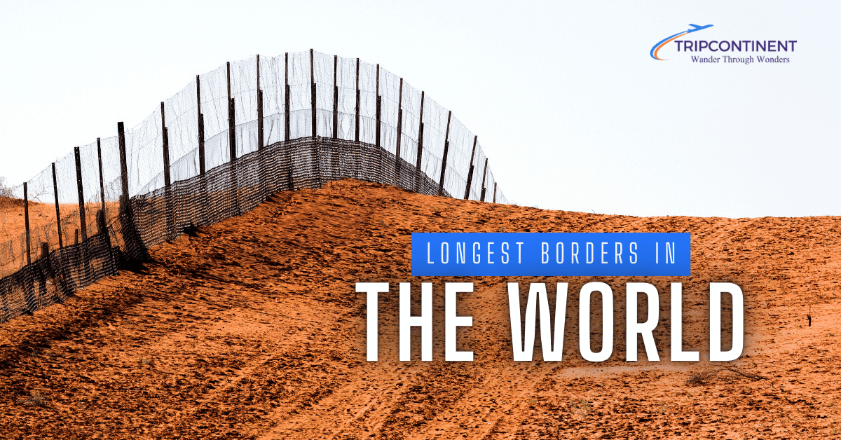
Which Are the Longest Borders in the World in 2024?
Borders play a crucial role in defining countries and shaping international relations. They mark the boundaries between nations, influencing trade, migration, and geopolitics. Some borders stretch for thousands of kilometers, crossing diverse landscapes and connecting different cultures.
In 2024, the world’s longest borders continue to fascinate geographers, historians, and travelers alike. These extensive frontiers often reflect complex historical processes, natural geographic features, and political agreements between neighboring countries. From North America to Asia, these lengthy borders showcase the vastness of our planet and the intricate ways in which nations coexist side by side.
List of the Top 10 Longest Borders in the World
- Canada-United States border
- Russia-Kazakhstan border
- Argentina-Chile border
- Mongolia-China border
- China-Russia border
- India-Bangladesh border
- Mongolia Russia border
- Brazil-Bolivia border
- India-Pakistan border
- United States-Mexico border
1. Canada-United States Border
The Canada-United States border, stretching an impressive 8,893 kilometers (5,525 miles), holds the title of the world’s longest international land border. This vast frontier spans diverse landscapes, from rugged wilderness to bustling urban areas, and plays a crucial role in North American geography and commerce.
This extensive boundary line is actually composed of two distinct sections. The main portion runs along the southern border of Canada, separating it from the contiguous United States. The second, shorter section divides Alaska from Canada’s Yukon Territory and British Columbia. In total, eight Canadian provinces and territories share this border with thirteen U.S. states.
The border’s geography is remarkably varied. In the east, it follows the St. Lawrence River and cuts through four of the five Great Lakes – Superior, Huron, Erie, and Ontario. Moving westward, it traverses prairies, forests, and the Rocky Mountains before reaching the Pacific Ocean. In the north, the Alaska-Canada border includes some of North America’s most pristine wilderness areas.
Historically, this border has been known as the world’s longest undefended border, reflecting the long-standing peaceful relationship between the two nations. The current border was largely established by the Treaty of Paris in 1783 and the Oregon Treaty of 1846, though some minor disputes continued into the 20th century.
Today, the Canada-U.S. border is a vital economic corridor. It hosts numerous crossing points, from major bridges and tunnels to small rural checkpoints. The busiest crossings include the Ambassador Bridge between Detroit and Windsor, and the Peace Bridge between Buffalo and Fort Erie. These facilitate massive trade flows, with hundreds of billions of dollars worth of goods crossing annually.
Despite its openness, border security has increased since the early 2000s. The two countries cooperate closely on border management through initiatives like the Beyond the Border Action Plan, aiming to enhance security while facilitating legitimate trade and travel.
The border region is also home to unique communities and ecosystems. It includes several international peace parks, such as Waterton-Glacier International Peace Park, showcasing joint conservation efforts. Some towns, like Stansted, Quebec and Derby Line, Vermont, even straddle the border, with buildings and streets divided between the two countries.
In essence, the Canada-U.S. border is more than just a line on a map. It’s a symbol of international cooperation, a crucial economic artery, and a defining feature of North American geography and culture.
You can read also: Longest Highways in the USA
2. Russia-Kazakhstan Border
The Russia-Kazakhstan border, stretching 7,644 kilometers (4,750 miles), is the world’s second-longest international border. This extensive frontier spans a diverse range of landscapes, from the Caspian Sea in the west to the Altai Mountains in the east. The border was established after the dissolution of the Soviet Union in 1991, making it one of the newer major international boundaries.
Fourteen Russian regions and seven Kazakh regions share this border, reflecting the vast territories of both nations. The border area is characterized by steppes, deserts, and mountainous terrain, with major rivers like the Ural and Irtysh crossing between the two countries. This frontier plays a crucial role in Eurasian geopolitics and economics, serving as a key transit route for trade between Europe and Asia.
Despite its length, the Russia-Kazakhstan border is known for its relatively open nature, with both countries maintaining close ties and allowing visa-free travel for their citizens. The border region is home to various ethnic groups, including Russians, Kazakhs, and other Central Asian peoples, contributing to a rich cultural tapestry in the area.
3. Argentina-Chile Border
The Argentina-Chile border, measuring 5,308 kilometers (3,298 miles), is the third-longest international border in the world and the longest in South America. This border runs along the Andes Mountains, creating one of the most dramatic and picturesque frontiers on Earth. It stretches from the southernmost tip of South America at Cape Horn to the Andean highlands in the north.
The border’s geography is incredibly diverse, encompassing glaciers, fjords, volcanoes, and high-altitude deserts. Notable features include the Patagonian Ice Fields, which are shared by both countries, and the Tierra del Fuego archipelago at the southern end. The highest point along the border is the summit of Monte Fitz Roy, an iconic peak in Patagonia.
Historically, this border has been the subject of numerous disputes and treaties between Argentina and Chile. The most famous agreement is the 1881 Boundary Treaty, which established the principle of using the highest peaks and the continental divide to demarcate the border. Despite past tensions, both countries now maintain friendly relations and cooperate on various cross-border initiatives, including joint national parks and improved transportation links.
4. Mongolia-China Border
The Mongolia-China border, extending 4,630 km, is the fourth-longest international border globally. This vast frontier separates the landlocked nation of Mongolia from its southern neighbor, China. The border runs through a variety of landscapes, including the Gobi Desert in the south, grasslands in the east, and mountainous regions in the west.
This border has significant historical importance, as it roughly follows the line of the Great Wall of China in some sections, reflecting ancient attempts to separate settled Chinese civilization from nomadic steppe cultures. Today, the border area is sparsely populated, with much of it consisting of remote, rugged terrain.
Several important border crossings facilitate trade and travel between the two nations, with the busiest being at Zamyn-Üüd/Erenhot. The border plays a crucial role in Mongolia’s economy, as China is its largest trading partner. However, the vast difference in population and economic power between the two countries has led to some concerns in Mongolia about maintaining its cultural and economic independence.
5. China-Russia Border
The China-Russia border, measuring 4,133 kilometers (2,672 miles), is the fifth-longest international border in the world. This extensive frontier is actually composed of two non-contiguous sections: a long eastern section and a much shorter western section, separated by Mongolia.
The eastern portion of the border follows the course of the Amur and Ussuri rivers for much of its length, creating a natural boundary between the two nations. This section passes through diverse ecosystems, including taiga forests, wetlands, and mountainous areas. The western section, much shorter, runs through the Altai Mountains region.
Historically, this border has been the subject of various conflicts and negotiations between China and Russia (and previously, the Soviet Union). A final agreement on the exact border demarcation was only reached in 2004, resolving long-standing disputes. Today, the border serves as a vital economic link between the two countries, with several major crossing points facilitating trade and travel.
6. India-Bangladesh Border
The India-Bangladesh border, stretching 4,096 kilometers (2,545 miles), is the sixth-longest international border globally. This complex frontier encircles Bangladesh almost entirely, as India surrounds its smaller neighbor on three sides. The border traverses a variety of terrains, including rivers, wetlands, and densely populated agricultural areas.
One of the most unique features of this border is the presence of numerous enclaves and exclaves, areas of one country’s territory completely surrounded by the other country. While many of these were resolved in a 2015 land swap agreement, the border’s complexity remains a testament to the region’s intricate historical and political landscape.
The border plays a crucial role in the economic and social interactions between the two countries. It’s marked by numerous official crossing points, with the busiest being at Petrapole-Benapole. However, illegal cross-border movement remains a challenge, leading to ongoing efforts to improve border security and management.
Read More: Largest Hospitals in the US
7. Mongolia-Russia Border
The Mongolia-Russia border is one of the longest boundaries that lies between Mongolia and Russia. The border extends over approximately 3485 km or 2165.47 miles long. It encompasses a diverse range of geographical features, which start from western tripoint with China, situated around 100 km east of the China-Kazakhstan-Russia tripoint. Starting from here, this border stretches to a broadly northeast direction through majestic Altai Mountains.
While reaching the vicinity of Mongolia’s Uvs Lake, the border continues to eastwards, following a series of overland lines, angles slightly to the southeast. Furthermore, it arches broadly in a northern direction, using the Chikoy River as its delineation’s part. Before curving the northeast and east, the border turns in two long arches, and finally terminates at the eastern Chinese tripoint.
8. Brazil-Bolivia Border
The Brazil-Bolivia border, measuring 3,403 kilometers (2,114 miles), is the seventh-longest international border in the world. This extensive frontier runs through the heart of South America, traversing a diverse range of landscapes including the Amazon rainforest, the Pantanal wetlands, and the Chaco dry forests.
The border begins in the north at the tripoint where Brazil, Bolivia, and Peru meet, and extends southward to the Paraguay River. Major geographical features along the border include the Guaporé River and the Bolivian Plateau. The frontier passes through some of the most biodiverse regions on Earth, home to numerous indigenous communities and unique ecosystems.
Economically, this border is significant for both countries, with several important crossing points facilitating trade and travel. The Brazilian city of Corumbá, located near the border, serves as a major hub for cross-border commerce. Despite its length and importance, large sections of this border remain relatively undeveloped and sparsely populated, particularly in the Amazon region.
9. India-Pakistan Border
The India-Pakistan border stretches over 3323 km or 2064.81 miles. This border divides the Indian subcontinent into two countries. Troops, tanks and artillery of both countries station along the line, making the border heavily materialized. The India-Pakistan border has three sections including the Line of Control, the International Border, the Actual Ground Position Line.
The LoC is a de facto border that separates India from Pakistan, and lies in the Kashmir region. This border was established in 1972 as the result of Simla Agreement, signed by both countries to end the Indo-Pakistani War of 1971. The second section “International border” was established in 1947 as part of India’s partition. The International border (IB) starts from the Rann of Kutch in the west and ends at the Himalayas in the east. The third section of India-Pakistan border is the “Actual Ground Position Line” also known as AGLP that came into being in 2003, as part of the Karachi Agreement. This border separates Indian-Pakistani armies in the region of Siachen Glaciers.
10. United States-Mexico Border
The United States-Mexico border, extending 3,145 kilometers (1,954 miles), is the eighth-longest international border globally. This highly significant frontier runs from the Pacific Ocean in the west to the Gulf of Mexico in the east, passing through a variety of landscapes including deserts, mountains, and urban areas.
Four U.S. states (California, Arizona, New Mexico, and Texas) and six Mexican states share this border. Major twin cities have developed along the frontier, such as San Diego-Tijuana and El Paso-Ciudad Juárez, creating unique cross-border metropolitan areas. The Rio Grande forms a natural border for a significant portion of the eastern section.
This border is one of the most frequently crossed in the world, with millions of legal crossings occurring annually for work, tourism, and trade. However, it’s also known for challenges related to illegal immigration and drug trafficking, leading to ongoing debates about border security and management. The border plays a crucial role in the economies of both nations, with the North American Free Trade Agreement (now USMCA) facilitating significant cross-border commerce.
Read this: Largest Airports in the World
Conclusion
The world’s longest international borders are not just lines on a map, but complex geographical, historical, and cultural entities that shape the interactions between nations. From the extensive Canada-United States border to the historically significant India-Pakistan frontier, these borders reflect the diverse landscapes and geopolitical realities of our planet.
These top 10 longest borders collectively span over 45,000 kilometers, crossing mountains, rivers, deserts, and forests. They play crucial roles in international trade, cultural exchange, and regional politics. While some, like the Canada-US border, are known for their openness and cooperation, others face challenges related to security, migration, and territorial disputes.
As we move further into the 21st century, these borders continue to evolve. They adapt to changing economic needs, environmental concerns, and technological advancements in border management. Understanding these expansive frontiers provides valuable insights into global geography, international relations, and the complex ways in which neighboring countries coexist and interact.
FAQs
Which is the longest international border in the world?
The Canada-United States border is the longest, measuring 8,893 kilometers (5,525 miles).
How many of the world’s longest borders involve China?
China is involved in three of the top 10 longest borders: with Mongolia, Russia, and Kazakhstan.
Which continent has the most representation in this list?
Asia has the most representation, with 5 out of the 10 longest borders involving Asian countries.
Which Border Is the Most Dangerous?
The Israel Palestine border is considered as the most dangerous border in the world.
What Is the Most Border Killing in the World?
The Mexico border is the world’s most killing border, where 40,000 people died over the last four years.
How have these borders changed over time?
Many of these borders have evolved through historical events, treaties, and negotiations. Some, like the Russia-Kazakhstan border, are relatively new, resulting from the dissolution of the Soviet Union.

I’m Sophia Jones, an adventurer at heart from New York City, USA. I live for travel and exploration, always eager to discover new places, meet fascinating people, and try out diverse cuisines. Over the past few years, I’ve traveled to numerous countries, immersing myself in different cultures and creating unforgettable memories.